23 Aug Brookhaven Highway Department Completes Pedestrian Safety Upgrades at 20 Intersections

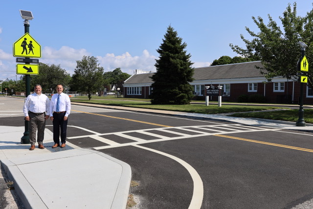
pedestrian safety upgrades made on Adelaide Avenue in East Moriches.
Brookhaven Town, NY – The Brookhaven Highway Department recently completed pedestrian safety
upgrades at 16 unsignalized and four signalized crosswalk locations across Brookhaven Town.
The additional safety measures added to the already signalized intersections included: LED pedestrian
signals with countdown timer assemblies; ADA compliant pedestrian push buttons with audible
features; thermoplastic reflectorized crosswalk pavement markings; and high visibility signage. In
addition, curb ramps were reconstructed to ensure they are ADA compliant as well.
Work completed at unsignalized crosswalk locations included: installation of rectangular rapid flashing
beacons at the crosswalk locations; ADA compliant pedestrian push buttons; high visibility crosswalk
signage; thermoplastic reflectorized crosswalk pavement markings; and ADA compliant sidewalk curb ramps.
The Brookhaven Highway Department was awarded grant funding for this project from the New York State Department of Transportation in response to the Local Call for Pedestrian Safety Action Plan (PSAP) projects. The overall construction cost was $1.3 million; nearly 80 percent was funded by the Federal Highway Administration (FHWA) with a local Town match. “The additional safety measures and upgrades completed at these intersections – many of which are located at public schools and Town parks – are intended to increase visibility and alert motorists when there is a pedestrian in the crosswalk,” said Superintendent Losquadro. Locations of the improvements made at signalized intersections include: Ruland Road and Hawkins Road in Selden; Pawnee Avenue and Mastic Road in Mastic; Division Road and Ronkonkoma Avenue in Lake Ronkonkoma; and, Station Road and Farber Drive in North Bellport.
Locations of improvements made at mid-block, unsignalized crosswalks include: 43 rd Street and Sunset Drive in Centereach; Oxhead Road between Arthur Lane and Hollingsworth Place in Centereach; Blue Point Avenue between Oyster Cove Lane and Madison Street – North in Blue Point; Blue Point Avenue between Oyster Cove Lane and Madison Street – South in Blue Point; Christian Avenue between Knoll Top Road and Hollow Road in Stony Brook; North Coleman Road between Donwood Avenue and Lake rove Street in Centereach; Norwood Avenue between Sage Road and Kennedy Road – West in Port Jefferson Station; Norwood Avenue between Kennedy Road and Sage Road – East in Port Jefferson Station; Hospital Road between Pondview Drive and Fairfax Road in East Patchogue; Jayne Boulevard and Newport Drive in Terryville; Adelaide Avenue between Montauk Highway and Montauk Avenue in East Moriches; Mount Sinai Coram Road between Route 25A and Jesse Way – North in Mount Sinai; and, Teller Avenue between Homestead Drive and Margaret Drive in Coram.


